In the world of surveying and mapping, accuracy and efficiency are critical elements. As infrastructure development and spatial planning continue to advance, the demand for precise geospatial data has never been higher. Among the most transformative tools in the surveying profession is the Total Station—a sophisticated instrument that has redefined the standards of field measurement and mapping.
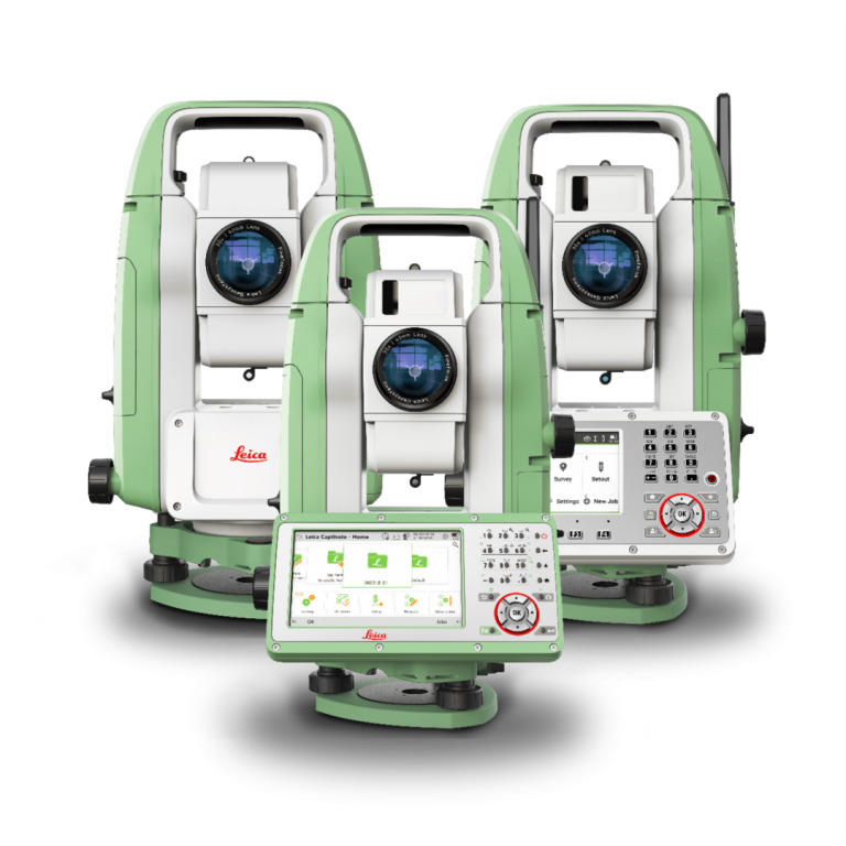
What Is a Total Station?
A Total Station is an advanced electronic surveying instrument that integrates three key components:
-
A digital theodolite for measuring horizontal and vertical angles.
-
An Electronic Distance Measurement (EDM) unit for measuring distances.
-
An onboard computer system that stores and processes collected data in real time.
The Total Station allows surveyors to simultaneously measure angles, distances, and compute three-dimensional coordinates of surveyed points with high accuracy. The data captured in the field can be transferred directly to CAD or GIS software for analysis and mapping.
Applications of Total Station in Surveying
Total Stations are used across a wide range of professional surveying applications, including:
-
Topographic Surveys: Capturing elevation data and land contours for planning and design.
-
Construction Layouts: Precisely staking out building corners, foundation lines, and structural components.
-
Structural Monitoring: Tracking displacements and deformations in bridges, buildings, and other infrastructure.
-
Cadastral Surveys: Determining legal property boundaries with high precision.
Advantages of Using Total Station
The use of Total Stations provides numerous benefits:
-
High Precision: Measurements are accurate down to millimeters, with angular accuracy in arc-seconds.
-
Time Efficiency: Data collection is significantly faster compared to traditional surveying methods.
-
Digital Data Integration: All measurements are stored digitally, reducing manual errors and improving data processing workflows.
-
Operational Flexibility: Reflectorless Total Stations can measure hard-to-reach points without the need for a prism.
Types of Total Station
Depending on project requirements, different types of Total Stations are available:
-
Manual Total Station: Requires manual targeting and operation, usually by two operators.
-
Motorized and Robotic Total Station: Offers remote control and automation, allowing a single operator to conduct fieldwork efficiently.
-
Reflectorless Total Station: Measures distance without the need for a reflector, ideal for hazardous or inaccessible locations.
Challenges and Considerations
Despite their capabilities, Total Stations require proper training and experience to operate. Regular calibration and maintenance are essential to ensure continued accuracy. Additionally, environmental factors such as rain, fog, or obstructions can affect measurement performance.
Conclusion
Total Stations represent a pivotal advancement in the field of surveying and mapping. By combining precision engineering with digital data processing, they have become indispensable tools for modern infrastructure and land development projects.
At KESUMA, we utilize cutting-edge Total Station technology to deliver accurate, reliable, and efficient surveying services. Our commitment to innovation and quality ensures that we meet the diverse and evolving needs of our clients across Indonesia and beyond.